
The Hunterdon County Office of Emergency Management has information on flood levels. You may need to scroll down a little to see the chart. To put this in context, flood stage of the Delaware River at New Hope, PA is 13 feet. New Hope is across the River from Lambertville. I got the information from the weather service, in case you want to check it out. According to Hunterdon County EMS, the River crested at 19.5 feet, the same level as the 2005 floods and below the 24.7 feet recorded from the 1955 floods. I may have said in an earlier post that the 1955 floods, from two back to back hurricanes, seem to be the one that all others are compared to.
In Lambertville, there is an Inn, and a restaurant next to the River, Lambertville Station. The parking lot is next to the river.
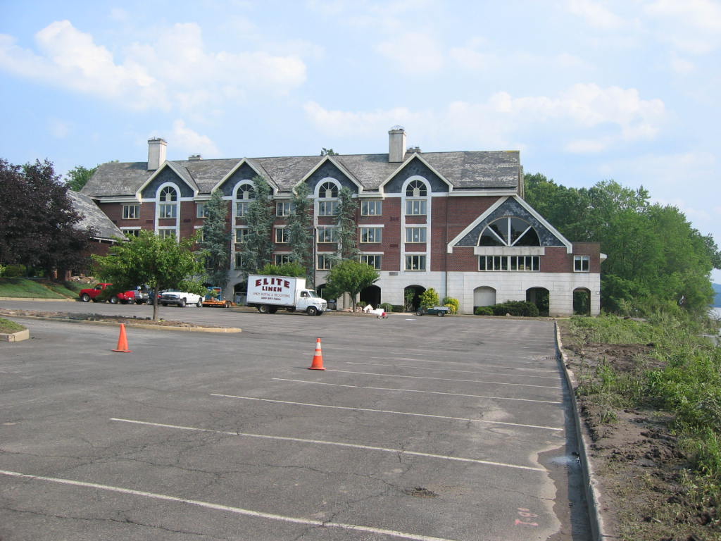
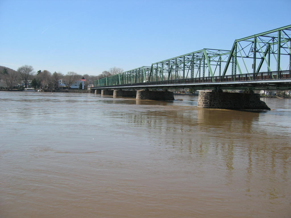
Note the arches on the building in the Inn in the photo. According to some footage I saw on the local news a good bit of those arches were under water during the flood. The rooms on the "first floor" are above the arches and, were not flooded (as far as I know). By the way, the restaurant is in a separate building a short distance from the Inn, fronting on Bridge St. Bridge St, as its name implies leads to what the locals refer to as the "free bridge" to New Hope. The picture of the bridge was taken a couple of days after the April 2005 floods, so the River was still high. This was the only photo taken after the April 2005 floods, all the others were taken on July 1. 2006.
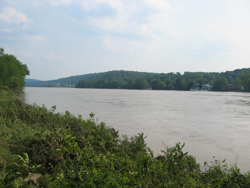
The picture of the River is taken from this same parking lot, looking south, towards Trenton. If you stand and watch the River long enough after a flood, you will see all kinds of debris in the river. It is very awesome to think that the spot where I was standing was probably under a few feet of water. I got a small taste of the power of the River.
The street, is Lambert La, if memory serves, and is across the street from the Lambertville Station. It is a mix of commercial and residential. The afternoon we were there, some haz mat vehicles were still on site. Lambert Lane borders the River. This street was still blocked off the day we were there, and the free bridge was still closed, barricaded by the police. I took the liberty of quickly stepping over the yellow tape to take this picture.
Other river towns along the both sides of the Delaware were flooded, we went to Lambertville because the road was open. For the geographically inclined, here is a map. I hope this works, it is supposed to be a google map showing both the roads and the satellite view.

No comments:
Post a Comment